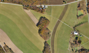
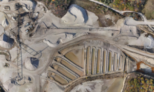
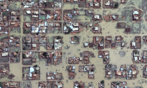
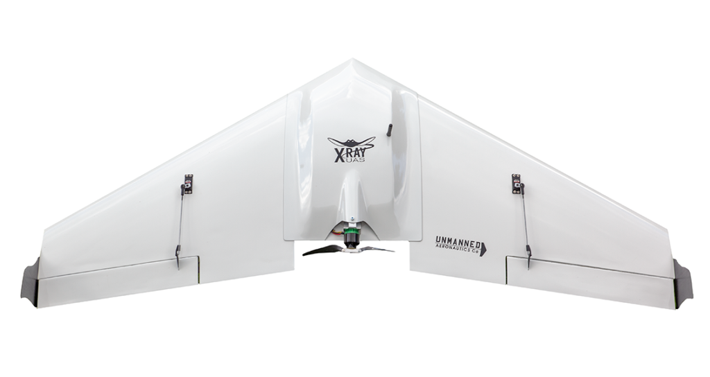
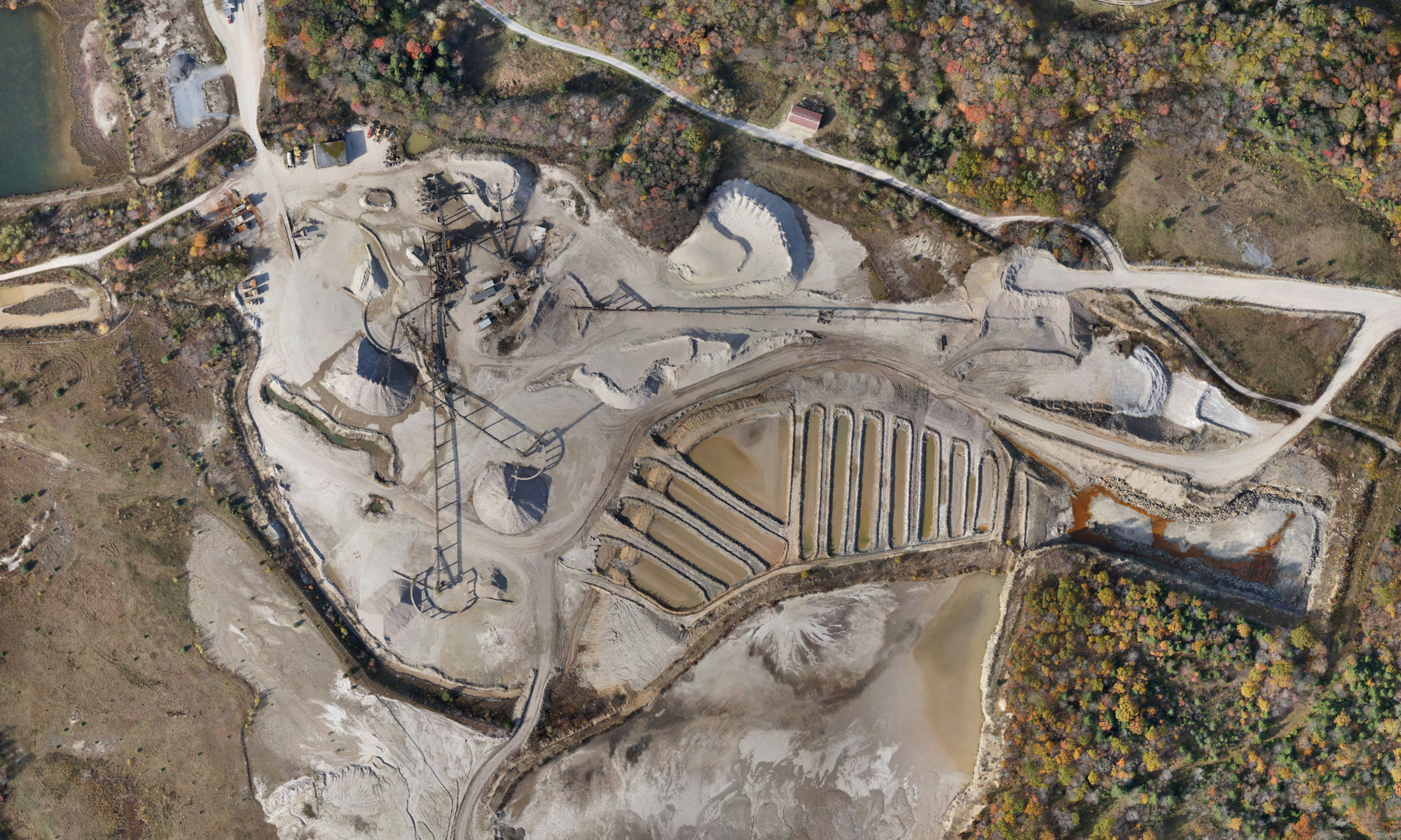
The XRay® fixed-wing drone, a compact yet highly capable variant of the GhostRay UAS platform, is designed and built from the ground up as a large area mapping and surveying platform in the United States. Boasting speed, stability, and endurance, it can thoroughly cover up to 1,000 acres per flight, making it an essential tool for a wide range of industries such as construction, agriculture, and environmental management.
Ease of use and a low-maintenance design allow operators to focus on the job at hand, while the open architecture design accommodates a variety of mission-specific payloads. The XRay’s exceptional mobility and versatility make it a perfect choice for quick deployment in demanding environments and an ideal solution for aerial surveying and mapping applications that demand precise and reliable performance.
Constructed entirely from composite materials, including ballistic-grade hinge material, the XRay® fixed-wing drone offers a rugged aerial platform that can be counted on to perform. Its advanced technology enables efficient data collection and processing, empowering professionals to make informed decisions based on accurate and up-to-date information.